Best Parks in Denver for 2026
From Wash Park's paddleboat lakes to the cottonwood-shaded Highline Canal and Red Rocks' sandstone amphitheater, Denver's parks are built for daily use. Here's where to actually spend your time in 2026.
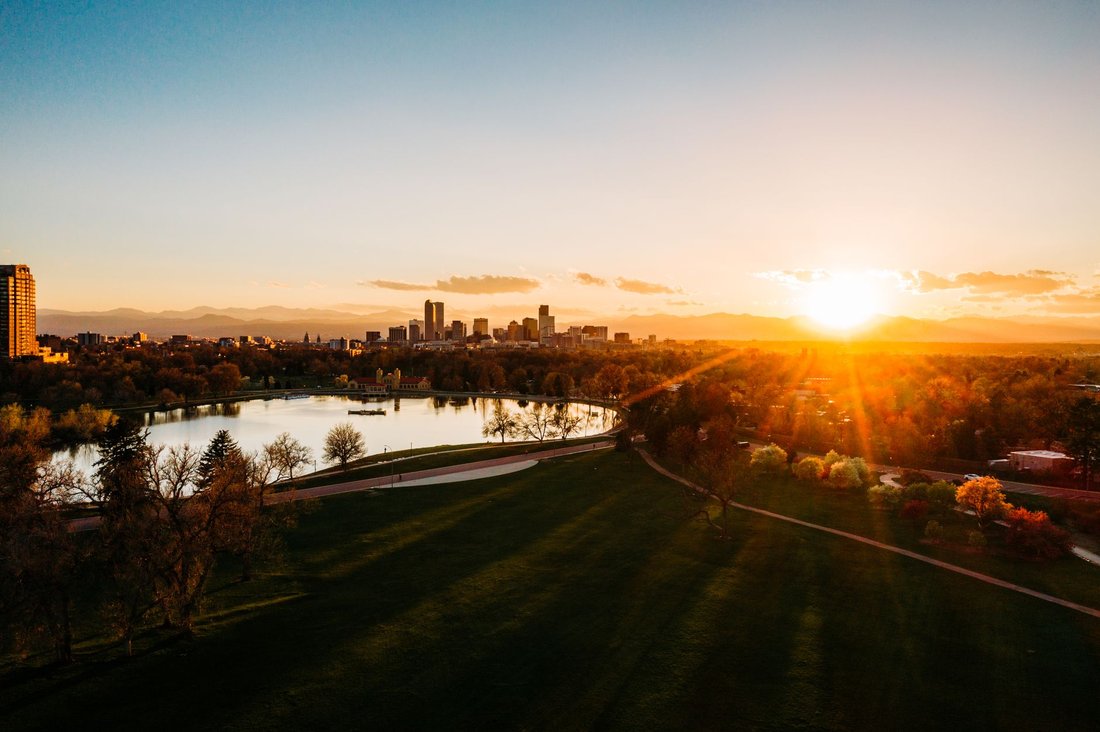
On a Tuesday morning in late May, a woman in a yellow vest power-walks the oval at Washington Park while her husband rows a paddleboat in slow, determined circles around the lake. A guy in a Rockies cap is doing pull-ups on the fitness bars near the tennis courts. Three toddlers are chasing a Lab who has absolutely no intention of returning the tennis ball. The mountains are right there — a full white-peaked wall behind the downtown skyline — and nobody glances at them because the view is so routine it's just wallpaper now. That's what the best parks in Denver actually feel like: not postcards, but lived-in places where the city does its daily thinking.
Denver has more than 200 city parks covering something north of 4,000 acres, and that number doesn't include the mountain parks system or the regional open spaces managed by Denver Parks and Recreation, Denver Water, and Jefferson County. The range is genuinely wide — from a 330-acre flagship with a boathouse to a tidy square-block plaza in Five Points. They share one thing: Denverites use them hard, early and late, in February cold and August sun. This guide covers the ones worth knowing for 2026, organized by character rather than geography, because that's how people actually choose where to go.
The Best Parks in Denver, By Character and Use
Flagship Parks: The Big Commons
Washington Park
If Denver has a civic living room, it's Wash Park. The 165-acre stretch in the South Denver neighborhood that shares its name pulls more foot traffic per square mile than almost anywhere else in the city, and has for decades. Two lakes — Grasmere and Smith — anchor the park, with Smith Lake hosting a boathouse and regular paddleboat rentals. The perimeter loop runs just over two miles, smooth enough for strollers and fast enough that the lycra-clad crowd uses it as a training track. The flower gardens in the center — modeled after George Washington's Mount Vernon plantings — are genuinely worth a slow walk in June when the peonies are in. Insider move: the southwest quadrant near the rec center gets far less traffic than the main oval on weekend afternoons, and that's where the grass is flattest for a long game of frisbee or a solid nap.

City Park
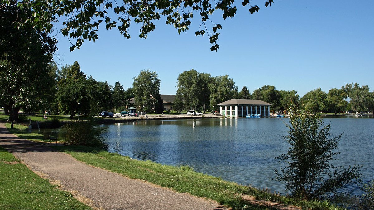
City Park sits just east of downtown in the Park Hill neighborhood and operates at a slightly more boisterous register than Wash Park. At 330 acres it's the largest park in the system, and it houses both the Denver Zoo and the Denver Museum of Nature and Science on its eastern edge — meaning on a Saturday it layers joggers, field-trip buses, and weekend picnickers into something that can feel like a small city unto itself. The western end, around Ferril Lake, is the calmer zone: geese work the shore, anglers set up camp chairs, and the view back toward downtown over the water is the one that ends up on postcards. The City Park Jazz series runs Sunday evenings through summer in the park's amphitheater and has been a free Denver institution for decades. Get there early to claim a spot on the hill with a good sightline — the crowd fills in fast.

Cheesman Park
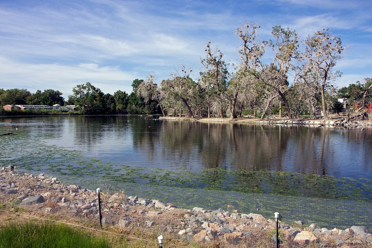
Cheesman sits on a rise in Capitol Hill and carries more history per square foot than almost anywhere in the city. The land was originally the city's first cemetery; bodies were relocated in the 1890s, though not all of them. The remaining ground was landscaped into a formal park with a neoclassical pavilion at its center, and the pavilion still throws afternoon shade in a way that makes it a favorite gathering spot for the Capitol Hill crowd — a mix of longtime residents, CU Denver students, and the dog-owner demographic that appears to be the dominant species in Denver parks. The park is essentially treeless on its main lawn, which means the skyline and mountain views are unobstructed from the western edge. Clear evenings in late summer deliver the payoff: soft pink light on the Rockies, downtown towers catching the last sun, a view hard to match anywhere in the city.

Lake Parks and Water Access
Sloan's Lake Park
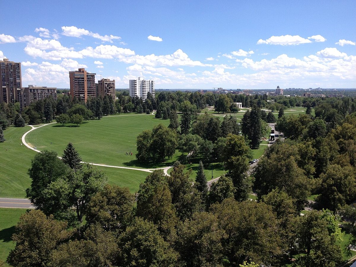
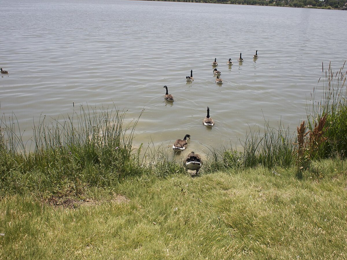
Sloan's Lake is Denver's largest body of water inside city limits, and the park that rings it has undergone enough quiet upgrading over the past decade that it's now one of the stronger all-around parks in the system. The perimeter trail runs about 2.6 miles — paved, flat, and popular with cyclists, runners, and the roller-hockey contingent that seems to materialize whenever weather permits. The Edgewater neighborhood anchors the western side with a cluster of food and drink spots, making the park function as a de facto backyard for that strip. Kayaking and stand-up paddleboarding are allowed on the lake, and rentals are available through local outfitters. The north end of the park near the boat ramp tends to be less crowded than the main trail on weekends, and the water views from there — looking south across the full length of the lake toward the Lakewood hills — are the kind that stop you mid-stride.

Berkeley Lake Park
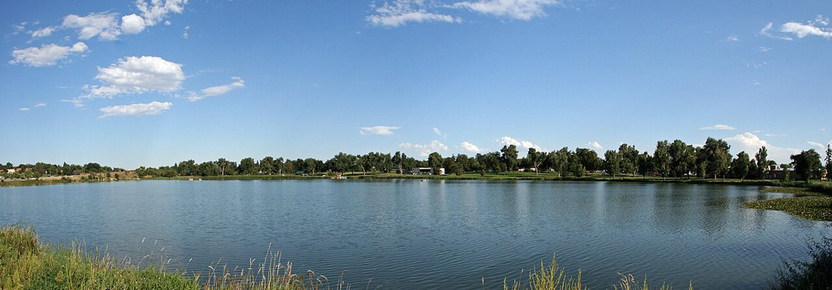
A short drive north of Sloan's Lake, Berkeley Lake sits in the Sunnyside and Berkeley neighborhoods and gets overlooked in favor of its more famous neighbors. The park is quieter, the trail around the lake is shorter, and the whole thing has the feel of a neighborhood commons rather than a city landmark. Ducks and herons work the shallows. Families claim the picnic tables on weekend mornings and don't leave until late afternoon. There's a rec center nearby with playground equipment that's newer than it looks. Locals who want water access without the Sloan's Lake weekend crowd come here instead.

Mountain-View and Skyline Parks
Overland Park
Overland sits in the south of the city near the River Point district, spread across both sides of the South Platte River, and it holds a few things that most Denver parks don't: a disc golf course that's been operating long enough to develop its own local culture, a proper golf course with a driving range, and easy river access that makes it a put-in/take-out point for paddlers working the Platte. The mountain views from the open fields on the west side are clean and unobstructed — this far south, the Front Range spreads out into a longer, lower silhouette than it does from downtown. The park has a rec center and ice rink that draw a steady crowd through the colder months. Weekday afternoons, the disc golf course is the quietest corner of the park and worth wandering even if you didn't bring a disc.
Confluence Park
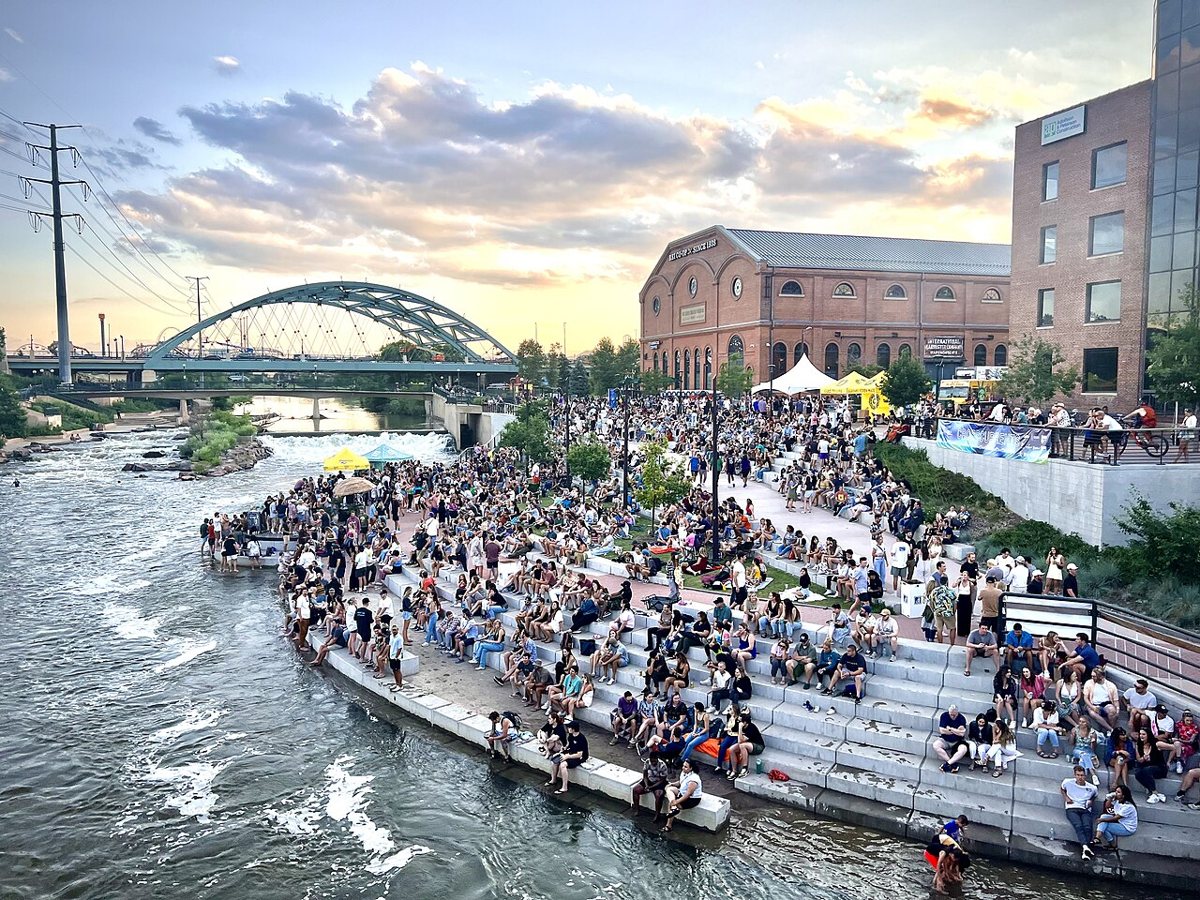
Where Cherry Creek meets the South Platte River in the LoHi/LoDo borderland, Confluence Park is less a traditional park than a civic gathering point. The concrete amphitheater steps down to the water, which is fast enough in early summer snowmelt season to attract kayakers running the small urban wave feature directly beneath the 15th Street bridge. In drier months, people wade in to cool off, which is precisely the kind of thing that sounds like a liability issue until you see the line of kids doing it on a 95-degree August afternoon. The park connects to the Platte River Greenway, which runs north and south for miles — a paved multi-use path that's one of the city's genuinely underrated transportation corridors. From Confluence you can roll south to Overland or north toward Highland and beyond without touching a car lane.

Cultural and Historic Green Spaces
Denver Botanic Gardens
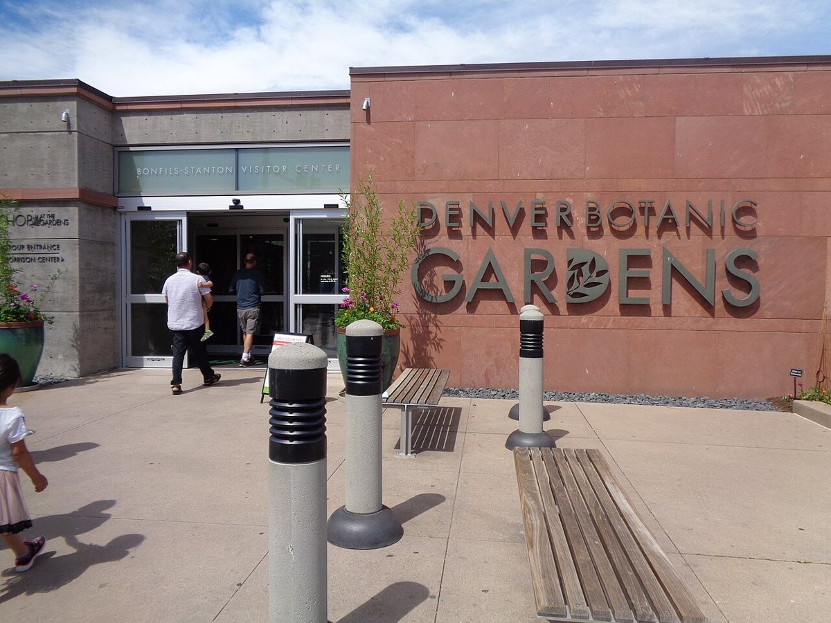
Technically a garden rather than a park, the Denver Botanic Gardens operates on 24 acres in the Cheesman Park neighborhood and functions as one of the city's most consistently excellent institutions. The main garden on York Street covers more than 40,000 plants across collections that run from a formal Japanese garden to a rock alpine garden that makes a convincing argument for the High Country's flora. There's an outdoor amphitheater that books real headliners through summer. The children's garden is designed well enough that adults without kids drift through it anyway. Entry is ticketed and worth it; members who live nearby treat it as a year-round park rather than an attraction. The autumn display, when the ornamental grasses go gold and the late-season blooms are still holding, is the most underappreciated time to visit.

Civic Center Park
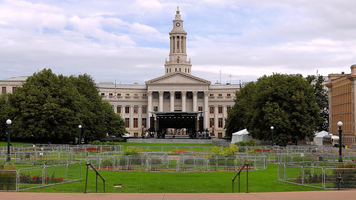
Civic Center sits at the base of the State Capitol between Colfax and 14th, framed by the Denver Art Museum to the south and the Denver Public Library to the west. It's a formal green — a neoclassical civic design with a central fountain, Greek Theater amphitheater, and broad walkways — and it hosts more political rallies, cultural festivals, and Cinco de Mayo gatherings than any other open space in the city. The park went through a significant renovation a few years back, and the result is a more welcoming space than the one that sat there previously: better lighting, updated seating, improved access. On weekday lunches the office crowd from the surrounding government buildings fills the benches. The DAM's north entrance opens directly onto the park, which makes it easy to combine a museum visit with a sit-down outside. The golden dome of the Capitol at the top of the hill is the obvious photo composition, but the view from the Greek Theater steps back toward the mountains is the better one.

Trail Corridors and Linear Parks
Highline Canal Trail
The Highline Canal is not a park in the traditional sense — it's a 71-mile irrigation ditch built in the 1880s that now has a trail running its entire length through the southeast metro. The Denver section winds through Hampden, Cherry Hills Village, and out toward Aurora, shaded by a canopy of mature cottonwoods that's unlike anything else in the urban trail system. In late October when those cottonwoods turn, the trail becomes one of the best fall color walks in the city — better, for casual walkers, than anything requiring a drive to the mountains. The canal itself carries water seasonally, and herons work the banks all summer. Access points are scattered throughout the southeast, with trailheads at Wellshire Golf Course, Cherry Hills, and multiple neighborhood street crossings. For trails just outside the city, the Highline functions as a warm-up or a training ground, but as a destination in its own right it holds up across all four seasons.
South Platte River Greenway
The paved path running along the South Platte connects parks from Englewood north through Denver and into Adams County — roughly 30 continuous miles if you count the regional extensions. The Denver stretch runs through Overland Park, Confluence Park, and continues north past Highland to Globeville and beyond. It's the city's busiest non-street cycling corridor and one of the better examples of what Denver has done well with its river: treating the Platte as an amenity rather than a drainage problem. The path passes beneath the LoHi pedestrian bridge (worth a detour up for the view), through the REI flagship's riverside backyard, and into a stretch of new development that didn't exist ten years ago. If you're moving between neighborhoods on a bike, this corridor beats any parallel street route.
Neighborhood Gems Worth Seeking Out
Mestizo-Curtis Park
Curtis Park in Five Points is one of Denver's oldest neighborhoods, and the park that anchors it carries the community character that Five Points has maintained through multiple waves of change. The park itself is modest in scale — pool, playground, open lawn, regular programming through Denver Rec — but it sits in a historically significant stretch of the city. Five Points was the center of Denver's Black cultural life for much of the 20th century, and the neighborhood around Curtis Park still has the architecture to prove it: Victorian-era homes, the Rossonian Hotel a few blocks away, and block after block of the kind of residential density that predates the cul-de-sac era. Walking the streets around the park is as much the experience as the park itself. For a weekend itinerary that goes deeper, pairing Curtis Park with a walk up Welton Street tells a more complete story of the city than most guidebooks manage.
Rocky Mountain Arsenal National Wildlife Refuge
Technically managed by the U.S. Fish and Wildlife Service rather than Denver Parks and Rec, the Arsenal sits in Commerce City just northeast of the city and represents one of the stranger environmental redemption stories in American land history: a former chemical weapons manufacturing site and Superfund location that has been converted into a functioning 15,000-acre wildlife refuge. Bison graze there now. Bald eagles overwinter. White-tailed deer move through the tallgrass prairie. The auto tour route is open most days and doesn't require hiking-level fitness — you can experience genuine prairie and actual bison from a car window. The contrast with the refineries and industrial infrastructure visible on the drive in from I-270 is jarring in the best way. This is the Denver metro's most unexpected green space by a significant margin.

Red Rocks Park
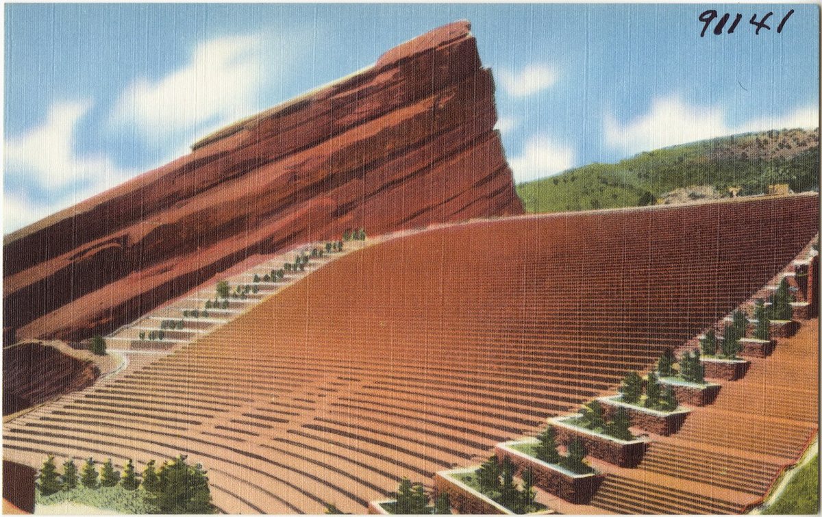
No guide to Denver parks is complete without Red Rocks, even though it sits 15 miles west of the city in the Denver Mountain Parks system. The sandstone formations — some rising nearly 400 feet — are the geological event the park is named for, and the amphitheater built between two of them in 1941 is one of the best concert venues on the planet. The park is open daily for hiking regardless of whether a show is scheduled, and the Red Rocks Trail network connects to a larger Morrison trail system and eventually the Denver Mountain Parks trail corridor. The Trading Post Loop is the most accessible trail and gives a good ground-level sense of the formations without requiring technical fitness. Come for a show if you have the chance — the acoustics are real, and watching the sun set over the foothills from the upper seats before a band takes the stage is an experience that doesn't require superlatives. Get there early regardless; parking fills well before showtime and the walk from the overflow lots takes longer than it looks on the map.

Practical Notes for Getting Around Denver Parks
Getting There
Denver's park system is spread across a wide grid, and public transit coverage varies significantly. Wash Park, City Park, and Cheesman Park are all reachable by bus from central Denver, though service frequency depends on the route and day. The South Platte Greenway and Cherry Creek Trail are genuinely bikeable corridors that connect multiple parks without using city streets. B-cycle (Denver's bike share system) has stations near most of the central parks. Reaching the Rocky Mountain Arsenal wildlife refuge and Red Rocks realistically means a car or rideshare, since transit to those locations is limited.
Altitude and Sun
Denver sits at 5,280 feet. The sun at altitude is more intense than it reads on the thermometer, which catches a lot of visitors by surprise. Sunscreen in May is not optional, and the light at midday in summer will burn faster than anything most people are used to at sea level. Go out in the morning before 10 a.m. or in the evening after 5 p.m. if you're planning anything more than a short walk. Afternoon thunderstorms are common July through early September — they build fast off the mountains and usually move through within an hour, but being on an exposed trail or in the middle of a lake when lightning arrives is a bad situation. Keep an eye on the western sky.
What's Free
Almost all of Denver's city parks are free to enter and use. The exceptions involve specific amenities: paddleboat rentals at Wash Park, zoo admission at City Park, Denver Botanic Gardens entry tickets, and programming fees for rec center pools and fitness classes. Red Rocks is free to hike; shows require tickets. The Rocky Mountain Arsenal wildlife refuge is free to enter and drive through. The South Platte Greenway and Cherry Creek Trail are free. Parking at city parks is generally free but can become genuinely difficult at Wash Park and City Park on weekend afternoons in good weather — biking or walking in from a nearby neighborhood is almost always faster.
A Point of View on Denver Parks in 2026
Denver added more than 100,000 people over the past decade, and the parks felt it. Wash Park on a Sunday morning in June is a different experience than it was in 2010 — more crowded, more competitive for space, more likely to have a vendor set up on the periphery. The city has responded with investment: the Civic Center renovation, trail improvements along the Platte, new programming at neighborhood parks that weren't on anyone's radar a few years ago. What hasn't changed is the underlying reason people move here and stay: the ability to leave a coffee shop in LoHi, roll down to the Confluence, watch kayakers work the wave feature, and see the Continental Divide from the bridge above. That combination — urban life at genuine altitude, with wild country visible on the horizon — is what Denver's parks exist to frame. The mountains aren't a backdrop. They're the whole point.